Hurricane Polo is battering Bermuda with 100 mph winds while Tropical Storm Nolo spins up behind it — the season's 15th named storm. Two storms, one ocean, five days apart: the Atlantic is running hot.
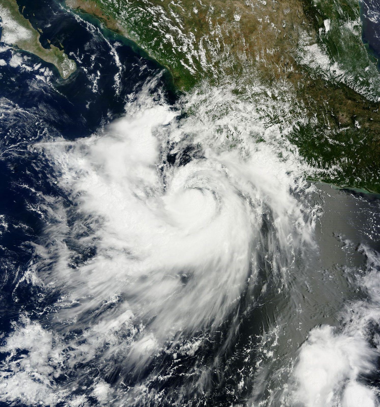
Bermuda has barely caught its breath and the Atlantic is already sending the next one. Hurricane Polo is raking the island with 100 mph winds — and right behind it, Tropical Storm Nolo is organizing into the season's second punch. Two hurricanes, one island, five days apart.
Polo came first. The Category 2 hurricane was centered about 175 miles southeast of Bermuda on Tuesday, packing maximum sustained winds of 100 mph and moving northwest at 16 mph. Hurricane warnings are in effect for the island; forecasters expect hurricane conditions Tuesday, with a storm surge of 2 to 4 feet and rainfall that could flood low-lying streets. Bermuda — a 21-square-mile speck of limestone in a very large ocean — does this drill well, but a direct hit is a direct hit.
Nolo is the sequel nobody ordered. The tropical storm formed Monday night about 585 miles south-southeast of Bermuda with 40 mph winds — the 15th named storm of a busy 2026 Atlantic season. Forecasters expect it to strengthen, possibly into a hurricane, as it curves north and then northeast. Its forecast track brings tropical-storm conditions to Bermuda by the weekend — roughly five days after Polo.
Warmer oceans do not just make stronger storms; they make more of them, closer together.
Back-to-back storms are Bermuda's special vulnerability. The island's infrastructure — power lines, roofs, causeways — can survive one hurricane's beating and be repaired. Two in five days means the second storm hits a weakened island: crews still clearing Polo's debris when Nolo's winds arrive, emergency supplies drawn down, the causeway possibly still compromised.
The season context matters. Fifteen named storms by September 29 puts 2026 above the historical average pace — and while the statistical peak of the season (September 10) has passed, Atlantic waters remain warm enough to spin up systems well into October. The names keep coming: after Nolo, the 2026 roster offers Olga, Pablo, and Rebekah, with the season officially running to November 30.
For the wider Atlantic basin, the Polo-Nolo pair is a reminder of the new arithmetic. Warmer oceans do not just make stronger storms; they make more of them, closer together, with less recovery time between. Bermuda's double hit is the local version of a basin-wide trend — the hurricane season compressing into sequences rather than events.
Emergency management on the island is built for exactly this. Bermuda's building codes are among the strictest in the Atlantic, its preparedness culture drilled by generations of near-misses. But culture and concrete have limits, and the second storm is always the test of the first storm's repairs.
Western coverage — the AP, the Weather Channel, AccuWeather — treats the double storm as a forecasting and preparedness story. The narrative is technical: tracks, wind radii, surge forecasts, the five-day spacing. The framing is managerial — warnings issued, causeways closed, residents advised — with the NHC's advisories as the authoritative voice.
The Western lens notes the season's pace with the detachment of the scorekeeper. Fifteen named storms by late September is above average; the question, in this telling, is whether the back half of the season keeps the pace.
Eastern coverage of Atlantic hurricanes is thin — the storms rarely touch Eastern shores — but Xinhua and Russian meteorological commentary note the pair as data points in the climate ledger. The argument is systemic: the Atlantic's warmth is the measurable consequence of a warming planet, and the season's above-average count is the receipt.
The Eastern lens, where it engages, treats Bermuda's double hit as the small-island parable. In this reading, the story is not the wind speed but the recovery gap — the five days between storms that the climate math keeps shrinking.
The Global South lens — Caribbean, Latin American press — reads Polo and Nolo as the neighborhood's recurring tax. The region has paid it for centuries, but the price keeps rising: stronger storms, tighter sequences, longer seasons. Bermuda is wealthy and well-built; the same double hit on a poorer island is a humanitarian crisis.
What resonates, in the South's telling, is the inequality of the impact. The storms do not discriminate; the recovery does. Every above-average season is a transfer of risk from the emitters to the exposed — and the exposed have the least say in the arithmetic.
